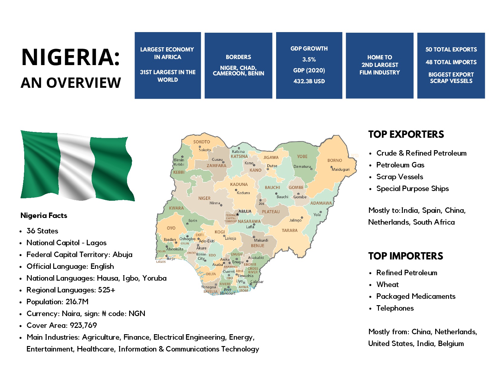
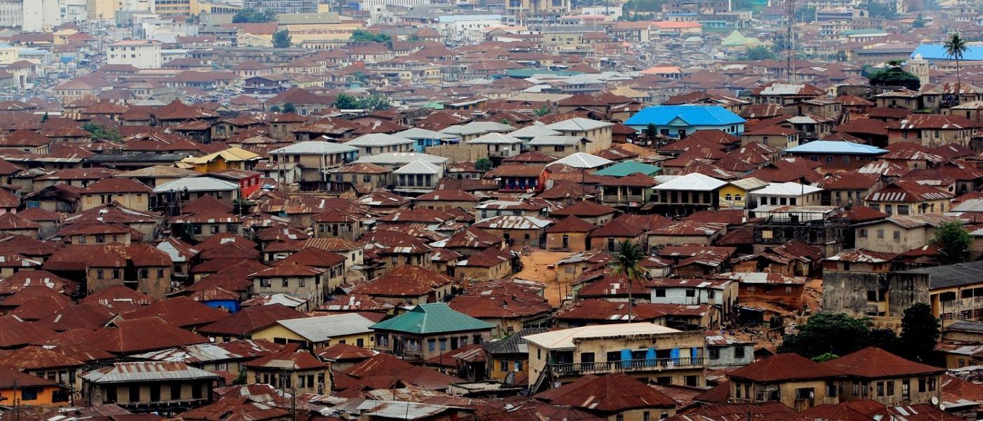
Ibadan is the capital and most populous city of Oyo State, in Nigeria. It is the third-largest city by population in Nigeria after Lagos and Kano, with a total population of 3,649,000 as of 2021, and over 6 million people within its metropolitan area. It is the country’s largest city by geographical area. At the time of Nigeria’s independence in 1960, Ibadan was the largest and most populous city in the country, and the second most populous in Africa behind Cairo.
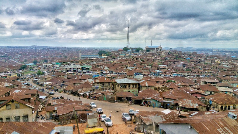
Ìbàdàn is located in south-western Nigeria, 128 kilometres (80 mi) inland northeast of Lagos and 530 kilometres (330 mi) southwest of Abuja, the federal capital. It is a prominent transit point between the coastal region and areas in the hinterland of the country. Ibadan had been the administrative centre of the old Western Region since the early days of British colonial rule, and parts of the city’s ancient protective walls still stand to this day. The principal inhabitants of the city are the Yoruba people, as well as various communities (notably Igbo, Hausa, Edo, and Ibibio) from other parts of the country (Nigeria).
The economic activities of Ibadan include agriculture, commerce, handicrafts, manufacturing, and service industries.
Transportation
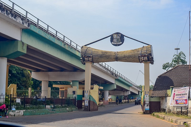
The city of Ibadan is a major Nigerian transport hub with freeways linking it with Lagos and other major cities. The city is also served by an airport, the Ibadan Airport, which operates daily flights to Abuja, Lagos, Kano, Ilorin etc. through major airlines in Nigeria. Nearly all the major roads are dualized (Double carriage roads), such roads include the Ojoo-Sango-Mokola road that passes in front of the University of Ibadan, others include Ring road-Orita-Challenge-New Garage ways and the recently completed Dugbe-Eleyele-Jerico Road. There are various roundabouts, intersections and flyovers within the city, the latest being the Mokola flyover built to reduce persistent traffic gridlock being experienced in the Mokola axis of the city.
Modes of transport include, cabs & taxis, taxi-vans commonly called Danfos, and in more recent times mass transit buses, private/personal/family cars, scooters commonly known as Okadas, Coach (bus) services, more commonly known locally as “luxurious busses” operate To and Fro services linking Ibadan and all other major destinations in the country and beyond, as well as pedestrian walking. There is a new railway connection (standard gauge), which brings passengers to Lagos in less than 3 hours. It leaves at 8:00 and 16:00 every day (on time).
Oyo State
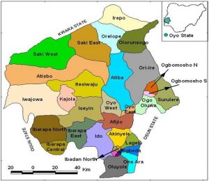
Consists of 33 Local Governments and 29 Local Council Development Areas. Local Government Areas are: Afijio, Akinyele, Atiba, Atisbo, Egbeda, Ibadan North, Ibadan North-East, Ibadan North-West, Ibadan South-East, Ibadan South West, Ibarapa Central, Ibarapa East, Ibarapa North, Ido, Irepo, Iseyin, Itesiwaju, Iwajowa, Kajola, Lagelu, Ogbomoso North, Ogbomoso South, Ogo-Oluwa, Olorunsogo,Oluyole, Ona-Ara, Oorelope, Oriire, Oyo East, Oyo West, Saki East, Saki West and Surulere.
The State covers a total of 28,454 square kilometres of land mass and it is bounded in the south by Ogun State, in the north by Kwara State, in the west it is partly bounded by Ogun State and partly by the Republic of Benin, while in the East by Osun State. The landscape consists of old hard rocks and dome shaped hills, which rise gently from about 500 meters in the southern part and reaching a height of about 1,219 metres above sea level in the northern part.
The topography of the State is of gentle rolling low land in the south, rising to a plateau of about 40metres. The State is well drained with rivers flowing from the upland in the north-south direction.
 C
C
Nigeria
Officially known as the Federal Republic of Nigeria and located in West Africa, covers an area of approximately 923,769 square kilometers. With a population of 216.7 million it stands as the most populous country in Africa. Nigeria is home to the Federal Capital Territory (FCT) in Abuja, the central part of Nigeria. The FCT was formed in 1976 to replace the capital city of Lagos, which was heavily overpopulated, had little infrastructure, and was open to coastal attacks.
